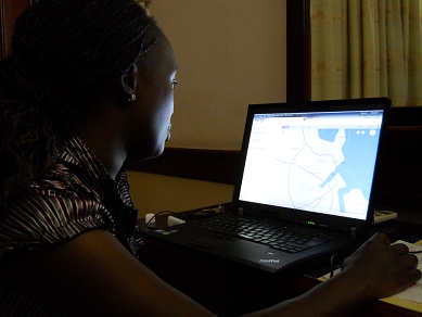
In an effort supported through a unique partnership between The World Bank and Twaweza, a regional ICT NGO, an impressive array of civic actors are leveraging information and communication technologies (ICTs) to create a new approach to this challenge in Tandale Ward, a vibrant unplanned community a few kilometers west of Dar Es Salaam’s city center. With facilitation from Ground Truth, the creators of Map Kibera, students from Ardhi University’s School of Urban and Regional Planning (SURP) and residents of Tandale spent much of August using GPS units to collect a wide range of public data points, from school and public toilets to health clinics and trash dumps. Using free and open source software, these volunteers loaded these data onto Open Street Map (OSM), a freely accessible online map.
The effort in Tandale is a an ongoing experiment in what Aleem Walji describes as the shift from open data to open development, where “citizen data and user generated content [can create] opportunities for Governments to listen better to their people and be more responsive to their constituents.” The easily expandable, interactive map is a new information resource for the community, as well as a powerful point of reference for discussion and decision-making in government about upcoming infrastructure upgrades.
The map’s granular, community-level open data provides new opportunities for what Harvard urban economist Edward Glaeser characterizes as “self-protecting urban innovation, cities’ abilities to generate the information needed to solve their own problems.” On top of this data, technologists and issue experts can build tools to help both better understand and better respond to the most pressing problems facing the city. Within days of the initial mapping, Ramani Tandale, a website that allows residents to report flooding, broken street lights and other problems to online map, was launched. In the future, teams of developers and community leaders in Dar Es Salaam could build smart phone applications for tracking of solid waste collection, web visualizations of drainage catchment areas, or a dashboard to help public service providers better manage citizen requests.
As we continue to draw lessons from Tandale, it is clear that a network of civic actors, encouraged by local public service providers, can use low cost technology to create new opportunities for accountability, enable data-driven government policy making and create a more inclusive and open development process.